Preserving Chaco: Part 1
Bridging Archaeology and Automated Fabrication with Python
The Challenge: Visualizing a Sacred Landscape
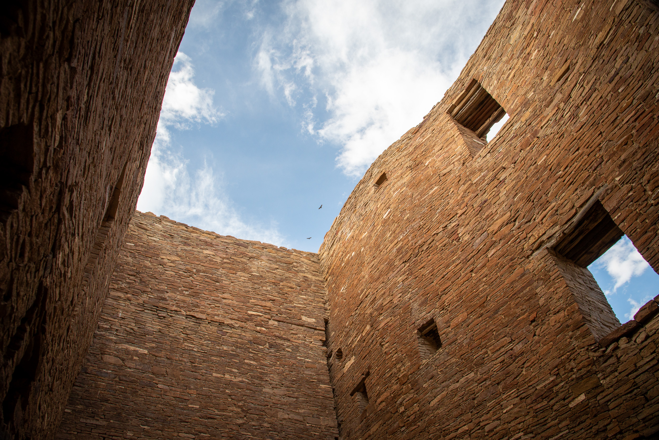
Chaco Canyon, located in the high desert of northwest New Mexico, is one of the most significant archaeological landscapes in North America. Between AD 850 and 1250, it served as a major center of Ancestral Puebloan culture, defined by monumental Great Houses, sophisticated astronomical alignments, and an extensive regional road network.
Yet Chaco’s very scale presents a challenge. The canyon is remote, access is limited, and many of its most important features can only be fully understood from above. While visiting Chaco in person is transformative, the coordination between landscape, architecture, and astronomy is nearly impossible to grasp at ground level. How do we convey the canyon’s scale, precision, and cultural meaning to people who may never be able to experience it firsthand?
The Solution: From LiDAR to Physical Models
This project addresses that challenge through a high-fidelity 3D modeling and projection-mapping workflow. I developed a Python-based automation pipeline that transforms LiDAR data into tangible, interactive artifacts for education, research, and advocacy.
Technical Innovations
-
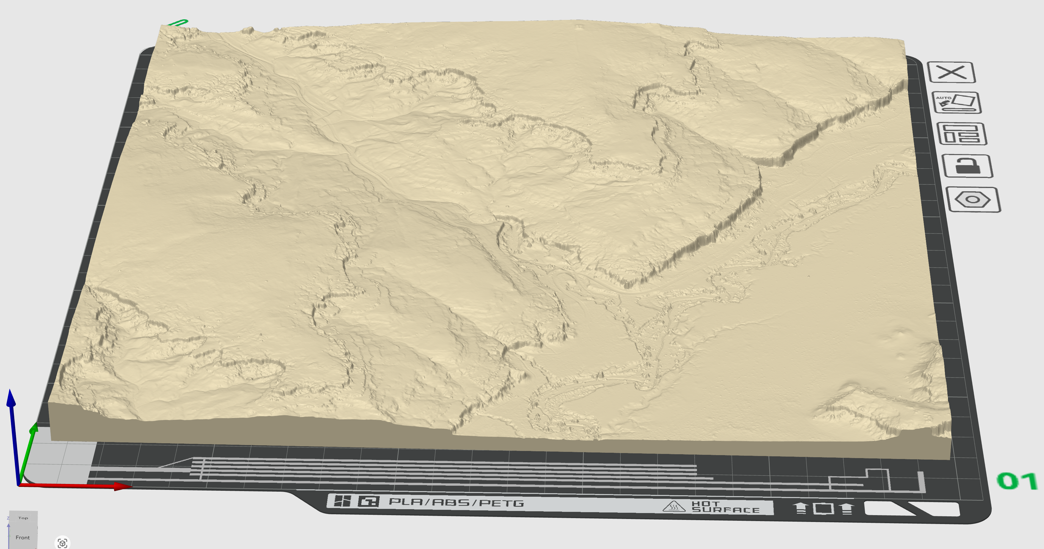
Raster Extraction and Mesh Generation
Using standard geospatial tools, elevation data is extracted from LiDAR scans and converted into a Digital Elevation Model (DEM). The DEM is then processed from a topological surface into a fully manifold 3D mesh suitable for high-resolution 3D printing. -
Adaptive Downsampling
Preservation demands detail; fabrication demands efficiency. The pipeline selectively preserves high-resolution features—such as canyon walls and architectural contours while simplifying flatter terrain. This approach can reduce file size by over 90% without sacrificing visual or analytical fidelity, enabling large-format physical models.
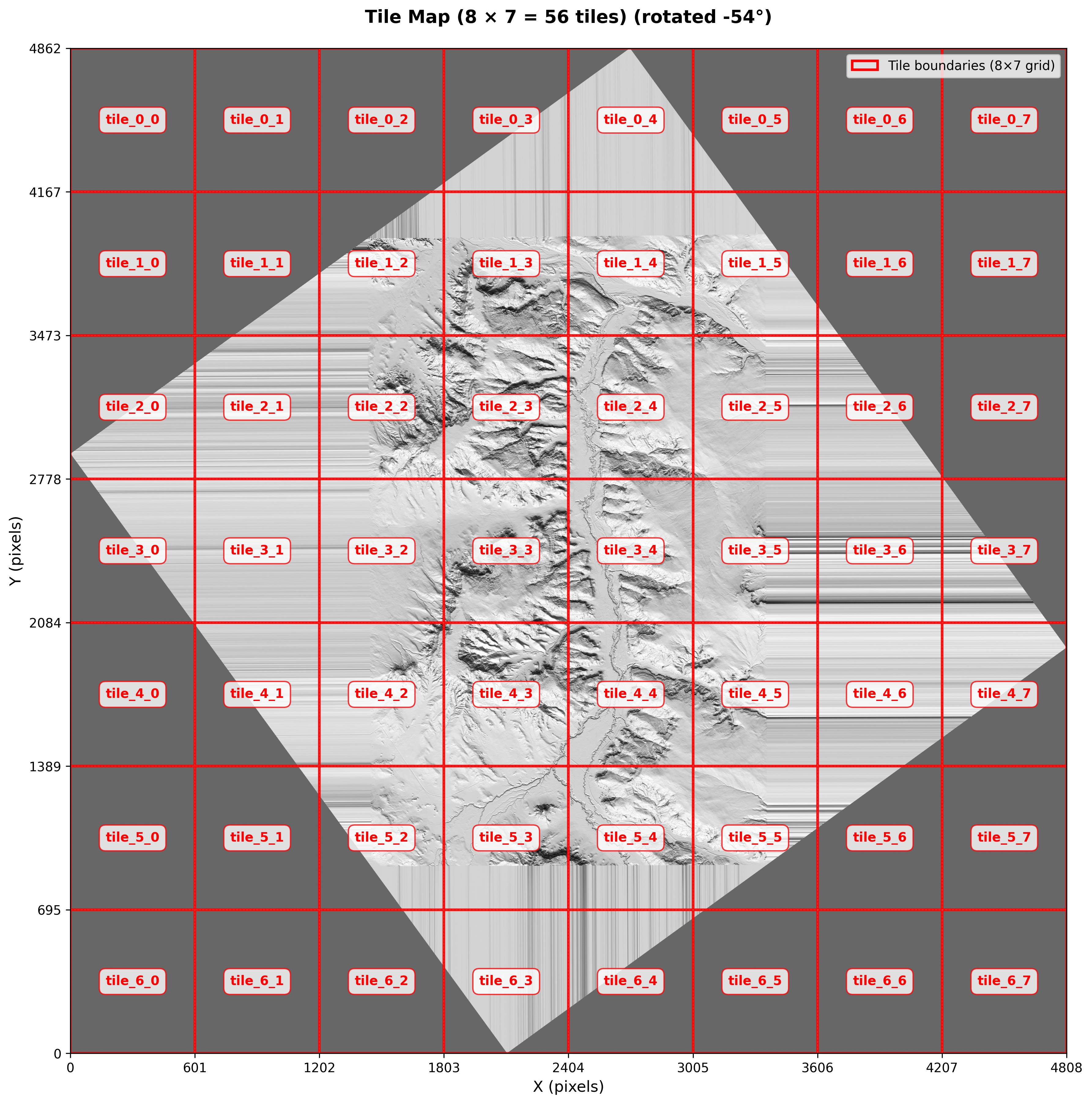
- Automated Tiling for Large-Scale Prints
To exceed the constraints of standard printer build volumes, the heart of the workflow, theDEMToMeshscript, dynamically generates an aligned grid and splits the DEM into perfectly matched tiles. This enables multi-foot physical models of the canyon, adaptable to virtually any printer size or capability through parameterized inputs.
- Cultural Heritage Standards
By grounding the work in LiDAR—the gold standard for archaeological documentation—the resulting models function not only as interpretive tools but as accurate scientific records. They support analysis and visualization with spatial precision approaching 0.5 meters.
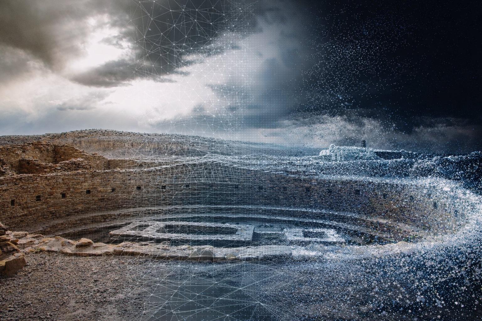
Beyond the Model: Projection Mapping and Storytelling
The physical model is only the foundation. I am prototyping short-throw projection systems that overlay archaeological and astronomical data directly onto the printed terrain. Viewers can watch the sun’s path during solstices sweep across the mesas, see ancient road networks illuminated, or observe alignments between celestial events and Great Houses.
Multi-projector setups allow synchronized views at different scales—such as showing the Sun Dagger phenomenon while simultaneously contextualizing it within the broader Chacoan landscape. Because the data layer is digital, the model can evolve as new research emerges, without reprinting the physical terrain. Animated overlays invite viewers into the landscape and allow Chaco’s complexity to unfold in ways static maps cannot.
A Call to Action
Ultimately, this work is not about technology—it is about stewardship. Chaco Canyon faces growing threats from environmental degradation and industrial encroachment (Click here to view an animated map of oil and gas expansion near Chaco). I hope that by translating this sacred landscape into an accessible and compelling physical experience, we can help ensure it is understood and defended for future generations.